Welcome to SEARCA Knowledge Center on Climate Change Adaptation in Agriculture and Natural Resource Management in Southeast Asia (KC3)
- You are here:
- Resources

Other Publications

International Conference on CLIMATE CHANGE IMPACTS AND ADAPTATION FOR FOOD AND ENVIRONMENTAL SECURITY | Conference Summary Report | January 2013 About 150 researchers, academicians, policymakers, and development workers representing 21 countries attended the International Conference on Climate Change Impacts and Adaptation for Food and Environmental Security (ICCCIAFES) held on 21–22 November 2012 at the Southeast Asian Regional Center for Graduate Study and Research in Agriculture (SEARCA) in Los Baños, Laguna, Philippines.
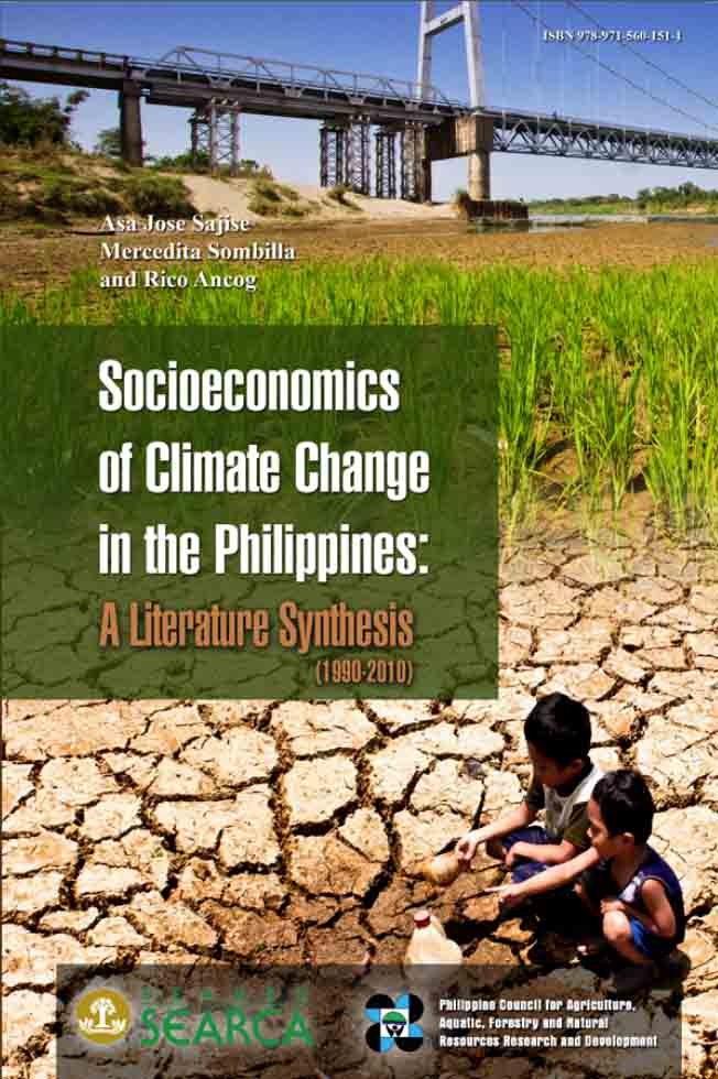
Climate change is a global phenomenon that is being experienced by all levels of society, regardless of race and species, and in all types of ecosystems, regardless of geographic location. It will have diverse effects on biodiversity, which will directly impact on food security, water supply and livelihood among others, especially for the poor and more vulnerable sectors of human society. More importantly, all forms of life including human society are trying their best to adapt and survive. This book…
This study was conducted in Southern Leyte to characterize its biophysical attributes, identify factors influencing landslide occurrences, develop a landslide database, and present recommendations for suitable land use. The major attributes of the province that were mapped using geospatial technologies (geographic information system, global positioning system, and remote sensing) were rock formations and fault lines, seismic occurrences, slope characteristics, elevation, soil series, vegetation/land use, and rainfall characteristics. Some soil properties of the landslide areas were also determined. The highest frequency…
Nowadays, international and regional institutions dedicated to research, training, and extension activities in disaster-prone countries are emerging. Many contemporary approaches to risk management and reduction, now being discussed and advocated at the international level, have grown out of disaster reduction research and application by developing country researchers and institutions. Natural catastrophes and disasters destroy fixed assets and physical capitals, interrupt production and trade, and divert and deplete savings as well as public and private investments. More than the damage to a…
Climate change, with its impact on agriculture, is emerging as one of the most significant development issues in the region. Climate change, among others, could alter temperature and precipitation regimes over major agricultural production regions; the frequency and intensity of extreme events – typhoon, floods, and droughts; average sea level; and incidence of pests and diseases. Moreover, agriculture is vulnerable to the impacts arising from global efforts to mitigate greenhouse gases (GHGs) which are likely to affect production costs and…
Introduction and Framework of Analysis According to the Initial Communication of the Philippines, the Philippines is among the first countries to respond to the challenge of the climate change phenomenon. As early as May 8, 1991, the Philippine government had created the Inter-agency Committee on Climate Change (IACCC) by virtue of Administrative Order No. 220. Since then, several initiatives such as action-oriented programs and policies have followed to address climate change. Recently, the Philippine government established the Philippine Climate Change Commission by virtue of the…
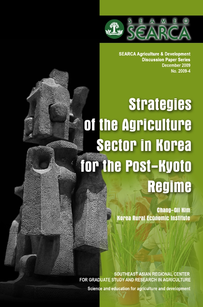
The comprehensive consideration of internal and external changes in conditions pertaining to the post-2012 Kyoto Protocol scheme indicates that Korea is highly likely to be mandated to reduce greenhouse gas (GHG) emissions starting the second commitment period (2013-2017). The new emission cut mandate under the Kyoto Protocol could serve as a good opportunity for Korea, depending on how it reacts. This paper analyzes the impact of the Kyoto Protocol implementation on the agriculture sector and suggests strategies for the post-Kyoto…
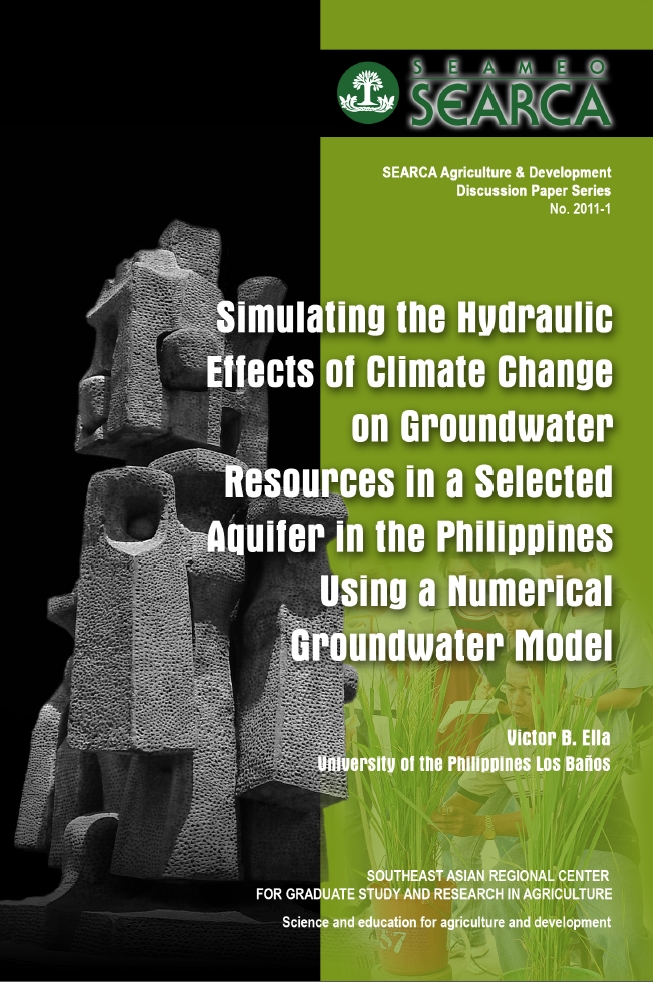
Climate change can negatively impact groundwater resources due to its influence on the hydrologic cycle. In view of the Philippines’ heavy reliance on groundwater resources, it is important to quantify these effects to serve as basis for sustainable groundwater resources management. This study aimed to simulate and predict the effects of climate change on groundwater levels on selected productive shallow aquifer system in Bay, Laguna, Philippines, using a numerical groundwater model. Model simulations using various climate change scenarios, based on the lower and upper limits of predicted air…
The Southeast Asian Ministers of Education Organisation (SEAMEO) was established on 30 November 1965 as a chartered international organization whose purpose is to promote cooperation in education, science, and culture in the Southeast Asian region. SEAMEO’s mission is “to enhance regional understanding and cooperation and unity of purpose among SEAMEO Member Countries and achieve a better quality of life through (a) the establishment of networks and partnerships, (b) the provision of an intellectual forum for policymakers and experts, and (c) the promotion of sustainable human resource…
This is a capability enhancement project where agriculture experts from various state universities and colleges (SCUs) in the Philippines were provided with knowledge on climate change and effects on Philippine agricultural systems and were equipped with skills on community-level vulnerability assessment which are requisites for a more relevant role in planning /implementing site-specific adaptation measures for agriculture and the farming communities facing climate change adversities. The project enabled participating SCUs to identify site-specific adaptation measures for agriculture and disseminate information…